This interactive visual record is provided by JS Imaging LLC solely for observation, communication, documentation, and preliminary discussion. Aerial imagery, orthophotography, 3D models, point clouds, estimated measurements, annotations, and other displayed information may be derived from aerial imaging, GNSS, photogrammetry, LiDAR, thermal imaging, GIS data, and other sources.
A JS Imaging visualization, including measurements generated with its tools, is not a boundary survey, topographic survey, professional topographic map, engineering survey, engineering document, or construction document. JS Imaging does not represent viewer-generated information as certified or survey-grade.
Displayed information must not be used to establish property boundaries, easements, rights-of-way, legal descriptions, survey monuments, construction locations, engineering design elevations, grading, drainage design, permitting compliance, or other matters requiring professional land surveying or engineering services.
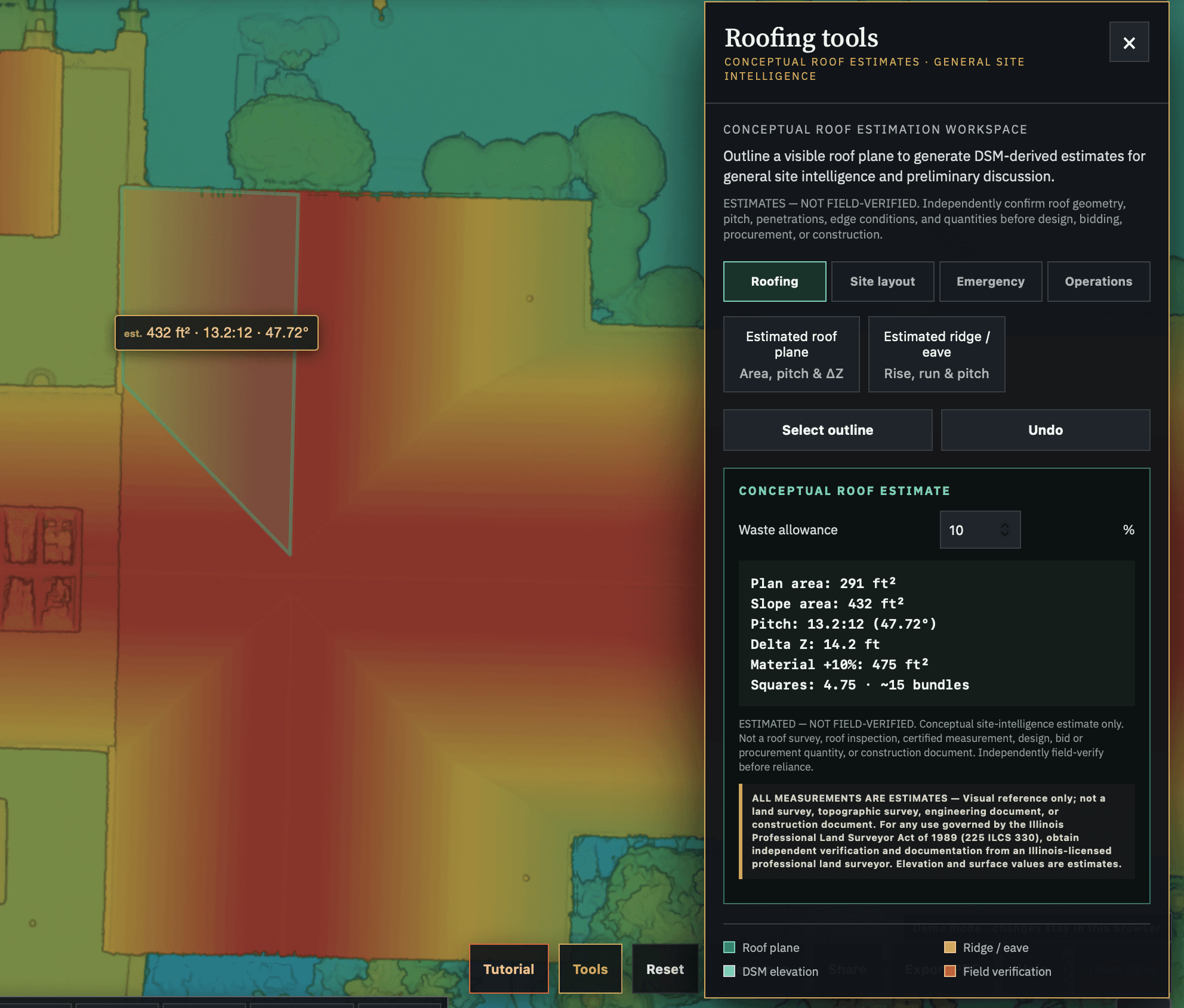
All interactive measurements, coordinates, elevations, areas, distances, slopes, grades, volumes, annotations, models, and similar viewer-derived information are estimates for visual reference and documentation only. No accuracy, precision, fitness-for-purpose, or compliance with land-surveying standards is represented or warranted. Results may be affected by source data, acquisition methodology, GNSS conditions, processing, coordinate reference systems, projection, terrain, vegetation, imagery resolution, sensors, software, and user placement or interpretation.
Third-party or public parcel, property, easement, and right-of-way information, when displayed, is provided for general reference and does not constitute JS Imaging’s determination of a legal boundary or property interest.
For any use governed by the Illinois Professional Land Surveyor Act of 1989 (225 ILCS 330), including regulated boundary, title, easement, topographic-survey, construction-location, floodplain, monument, or related reliance, the user must obtain independent verification and documentation from an Illinois-licensed professional land surveyor. JS Imaging does not provide that verification or professional land-surveying service.